Kochi
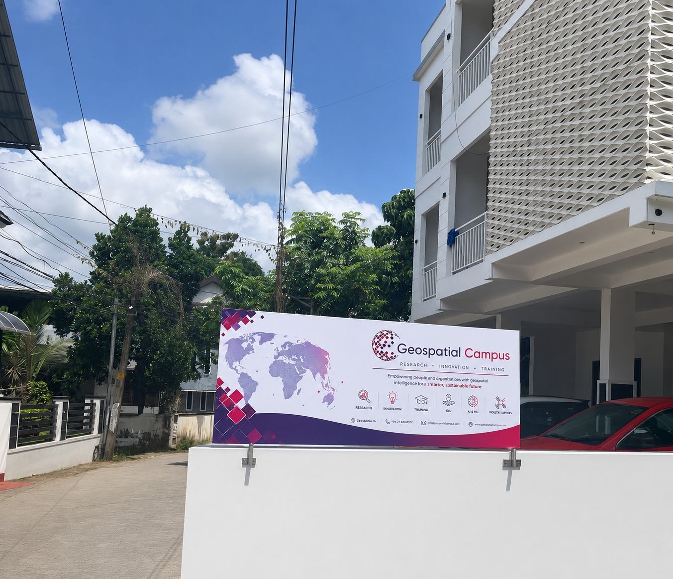
The parent campus in Kakkanad, Kochi, Kerala. Training delivery, project execution and corporate programmes, co-located with SysGlob Software Solutions Pvt. Ltd.
The training wing of SysGlob Software Solutions Pvt. Ltd., focused on making learners job-ready through project-based instruction and real-world datasets.
Geospatial Campus was founded in 2013 at Kochi, Kerala, with a single focus: practical, placement-oriented training in Geographic Information Systems (GIS) and allied geospatial technologies. The curriculum progresses from fundamentals of spatial data handling to applied domains such as Python-based automation, remote sensing, and Geo-AI.
The institute trains fresh graduates from geography, geology, civil, environmental sciences and engineering streams, as well as working professionals looking to transition into the geospatial industry. Hands-on work on real datasets, rather than lecture-only instruction, remains the core pedagogical approach.
Alumni have been placed in public and private organisations, including ISRO-affiliated centres, state planning departments, and firms such as Wipro, AECOM, Atkins Realis, Infosys and Map My India. The institute also supports internships, including ISRO-related exposure, as part of the training.
Headquartered at Kochi, with learning centres at Chennai, Nagercoil and Coimbatore. Classroom, hybrid and remote cohorts supported from all four.
The parent campus in Kakkanad, Kochi, Kerala. Training delivery, project execution and corporate programmes, co-located with SysGlob Software Solutions Pvt. Ltd.
Tamil Nadu learning centre serving learners across metropolitan Chennai and neighbouring districts. Classroom, hybrid and weekend cohorts.
Southern Tamil Nadu learning centre covering Kanyakumari district and nearby regions. Anchor for research support, internships and research-oriented cohorts.
Western Tamil Nadu learning centre serving Coimbatore and neighbouring districts, with GIS and remote-sensing training, workshops and college partnerships.
The institute prioritises application over theory. Each module is anchored to a deliverable that mirrors industry tasks.
Landsat, Sentinel, SRTM and Survey of India data used from day one.
ArcGIS Pro, QGIS, ENVI, ERDAS, Google Earth Engine, Python.
Small batches with direct access to practising GIS professionals.
Mock interviews, portfolio review and referrals to partner firms.
Open to learners from a range of academic backgrounds. Career tracks span private firms, public institutions and research centres.
From any discipline, with an interest in spatial data and mapping.
Looking to add industry-grade GIS and remote sensing skills to their profile.
From civil, computer science and allied streams, transitioning into geospatial roles.
Upskilling into GIS, Python-for-GIS, Geo-AI and Web GIS.
Reach out for course schedules, fee structure, placement details or custom corporate training programmes.